- Open-source GIS workflows in QGIS, Python, PostGIS, and Leaflet

- Fire hydrant spacing using network-based spatial analysis
- Automating geodatabase updates with Python and ArcPy
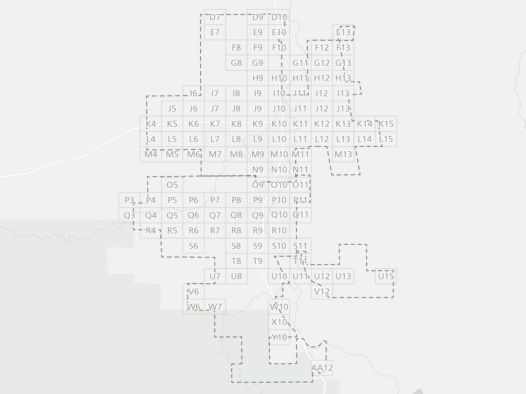
- Emergency services map book for response planning
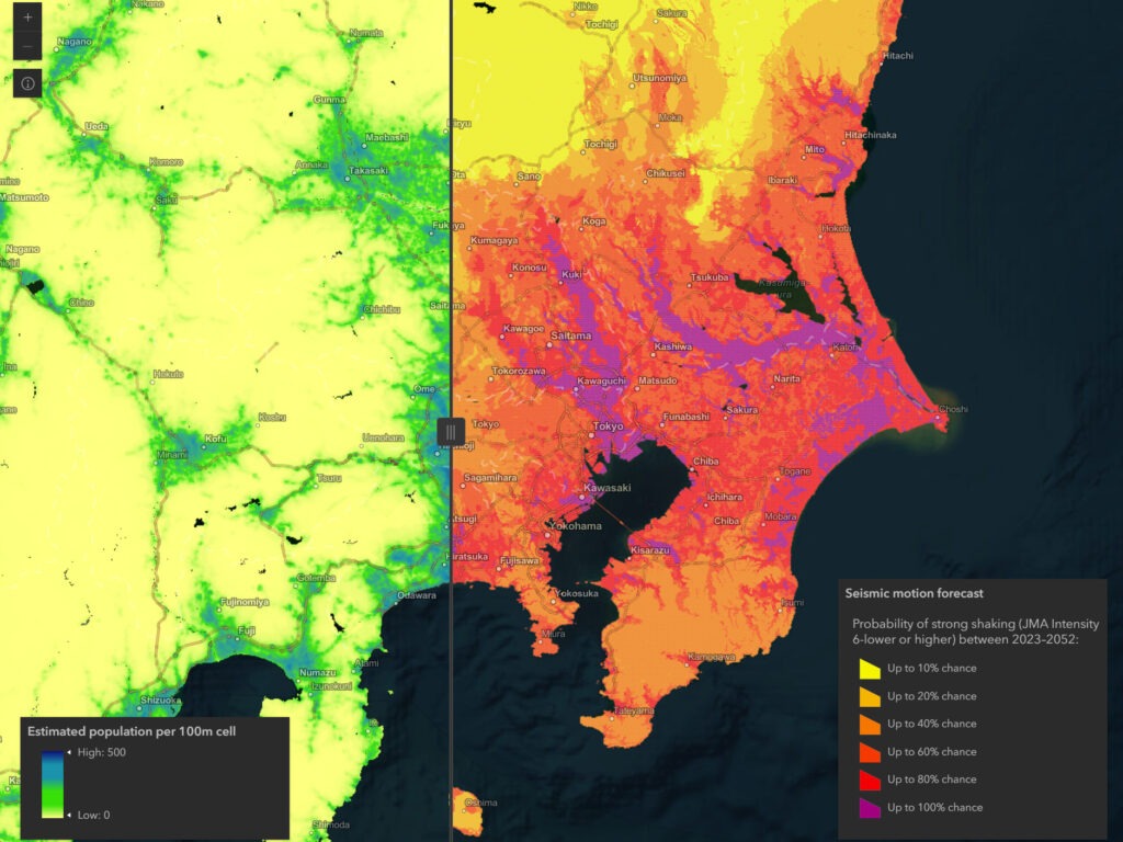
- Japan earthquake explorer
- Outdoor public art at UNM
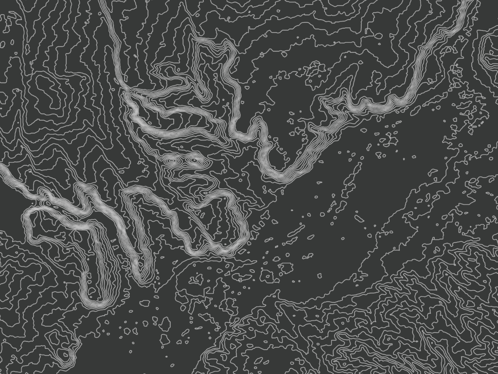
- Isometric bathymetry of the Ogasawara Arc
- Industrial air releases and minority population in St. Louis County
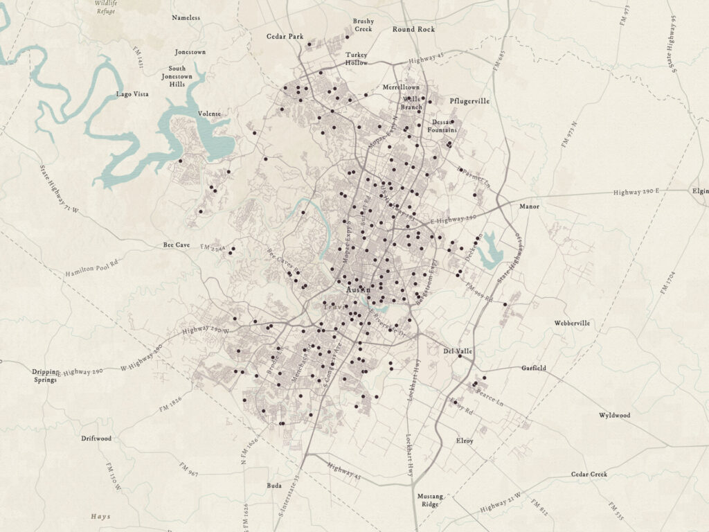
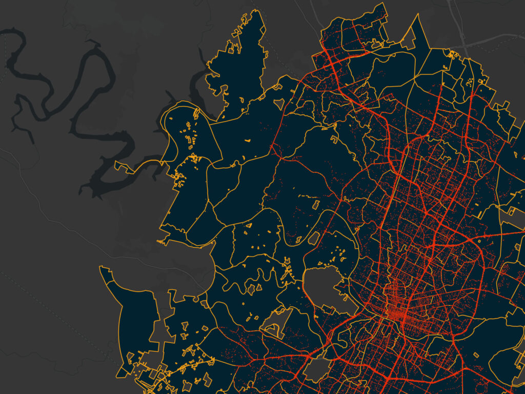
- Spatial regression of traffic crashes in Austin
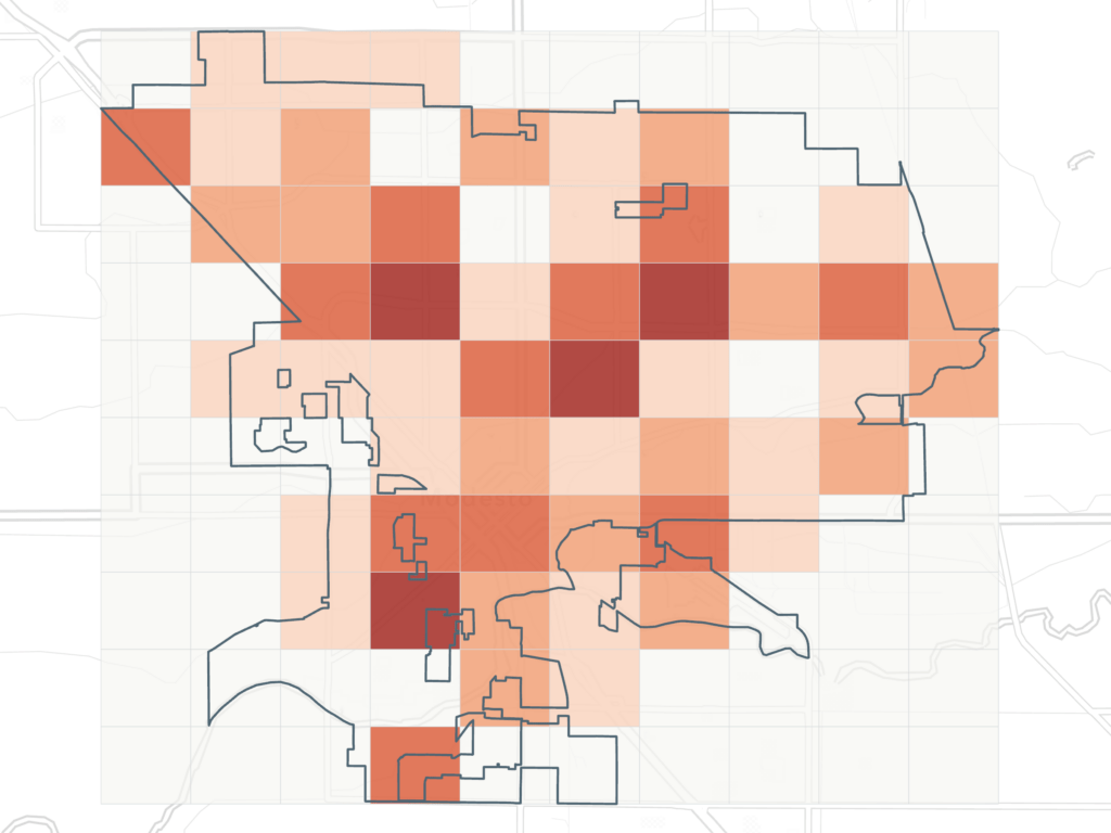
- Point pattern analysis of residential fires in Modesto
- Siting mobile library stops in rural West Virginia
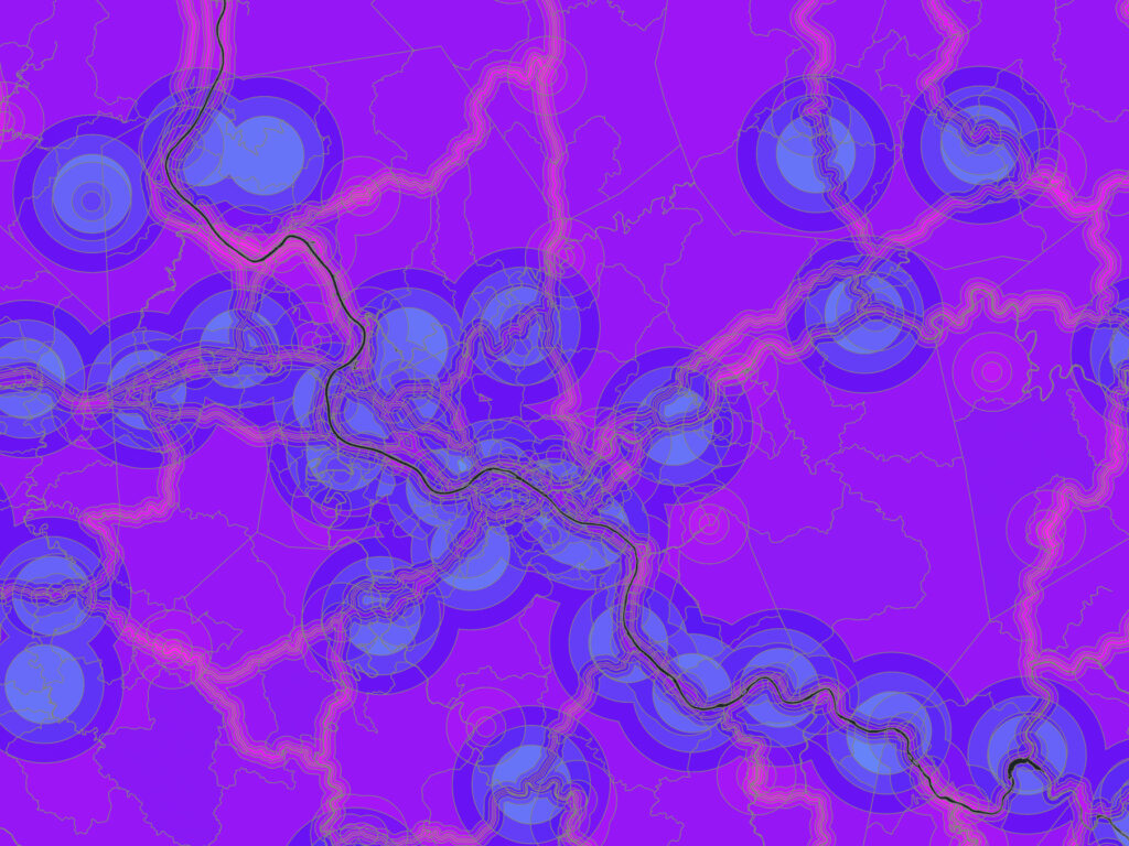
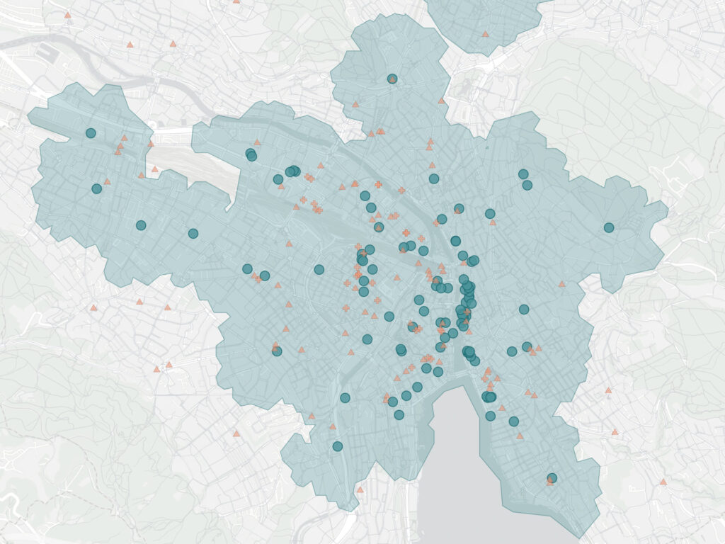
- Pedestrian accessibility in Zurich
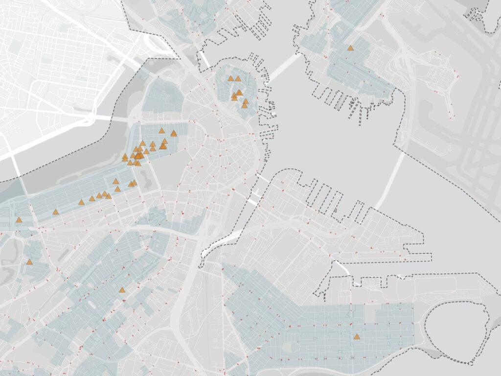
- Historic sites and urban accessibility in Boston
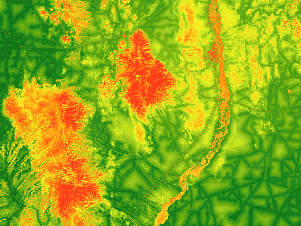
- Siting a raptor rehabilitation center in central New Mexico
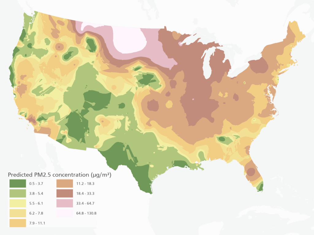
- Interpolation of fine particulate matter across the U.S.
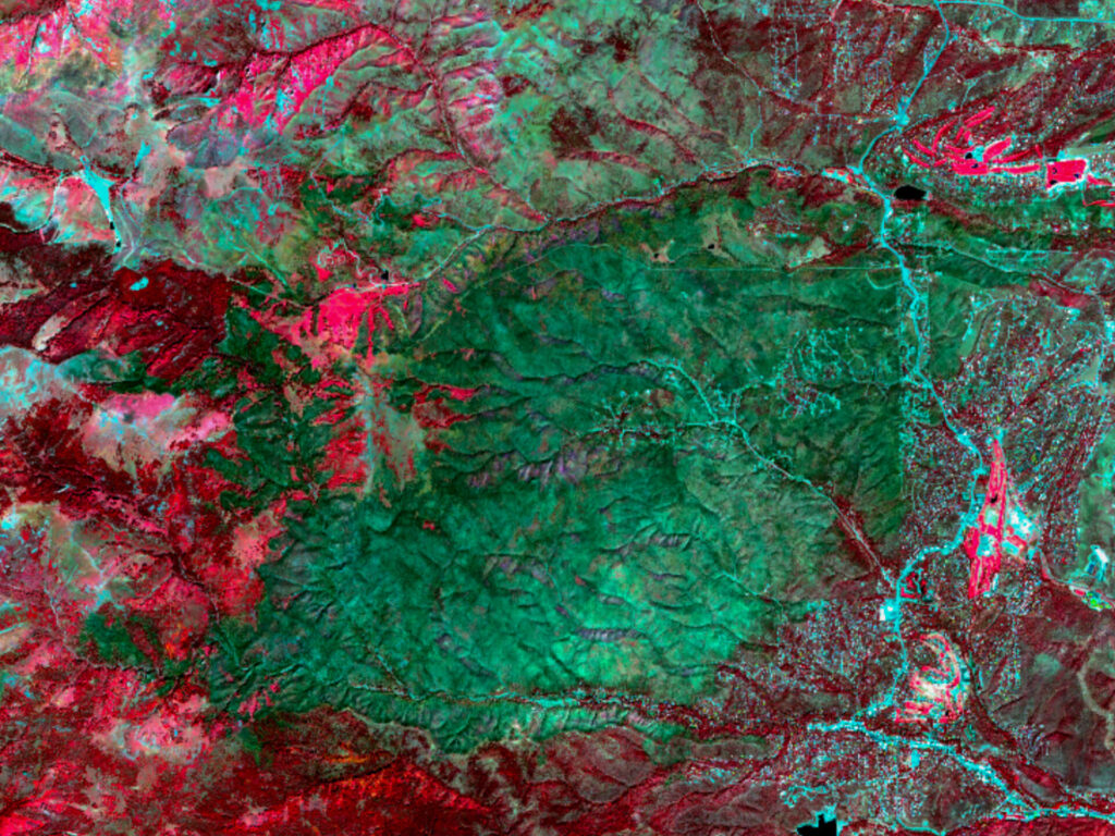
- South Fork post-fire burn severity assessment
- Glenn County NDVI trend and crop classification
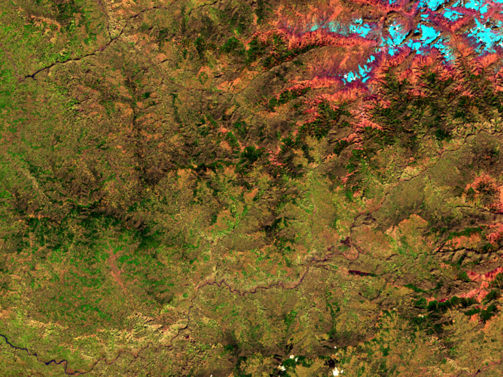
- Correcting terrain illumination in Landsat imagery
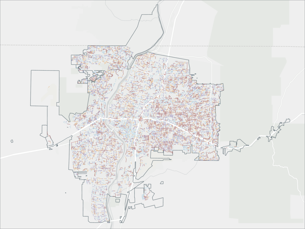
- Comparing mapping-grade and survey-grade GNSS receivers
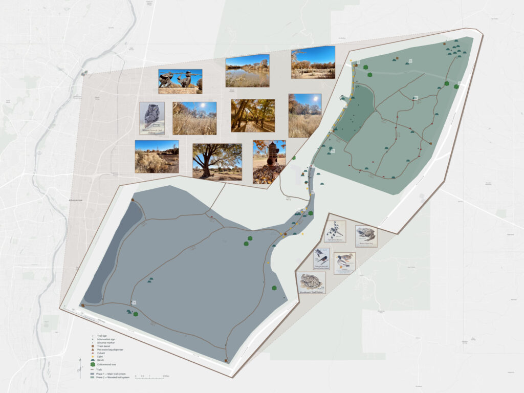
- Mapping trails and visitor assets at Bachechi Open Space