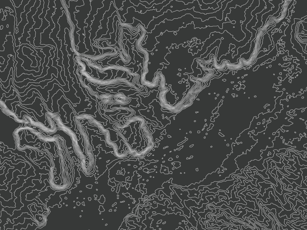
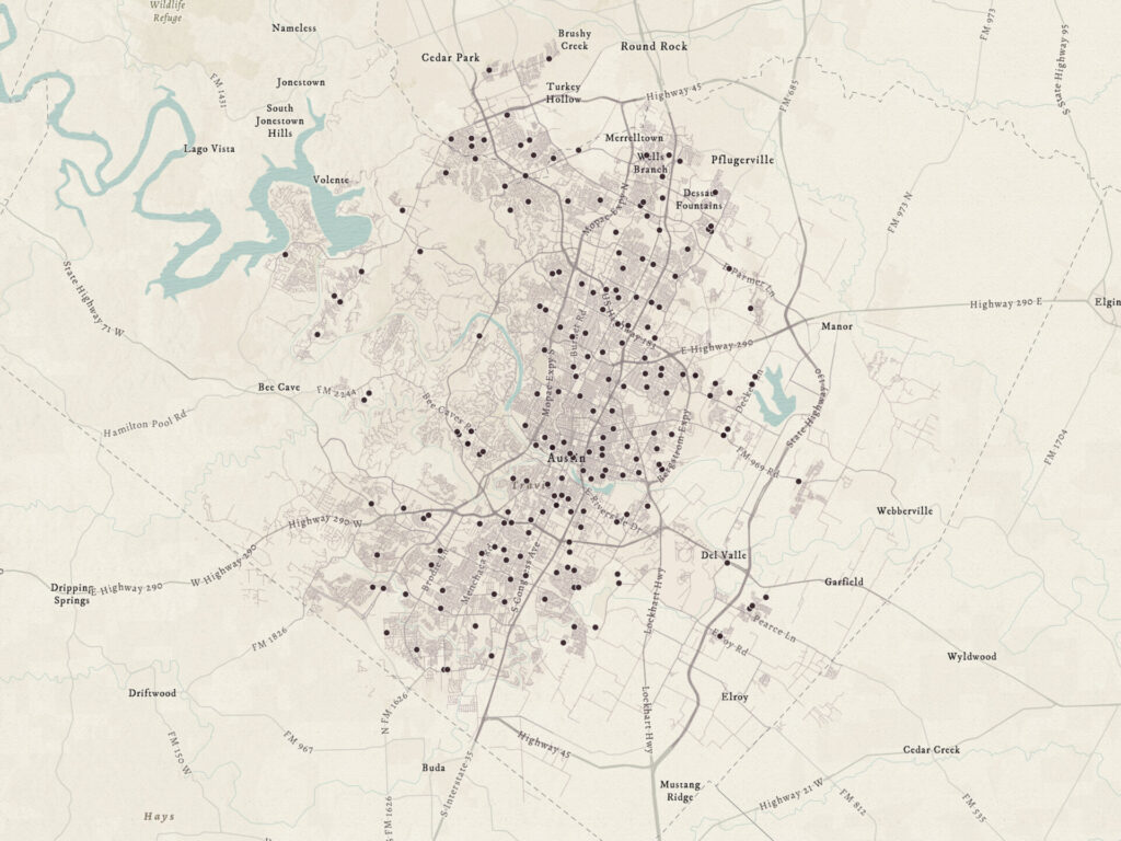
Develop code to process, analyze, and visualize geographic data for mapping and spatial analysis applications. Leveraging programming languages like Python, JavaScript, and R to use with GIS tools can automate tasks, perform spatial analysis, and create interactive mapping solutions.
- Open-source GIS workflows in QGIS, Python, PostGIS, and Leaflet

- Automating geodatabase updates with Python and ArcPy
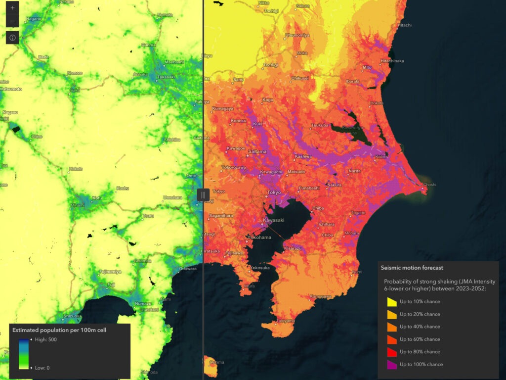
- Japan earthquake explorer
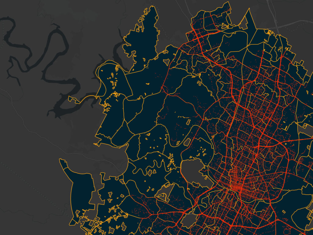
- Spatial regression of traffic crashes in Austin
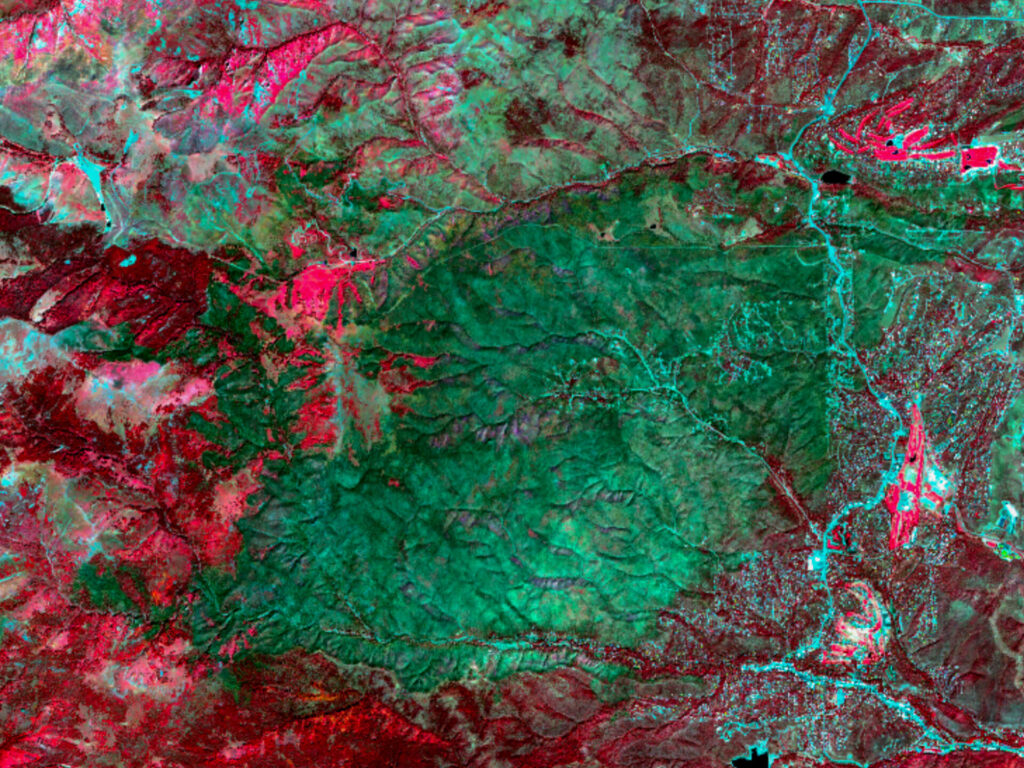
- South Fork post-fire burn severity assessment
- Glenn County NDVI trend and crop classification
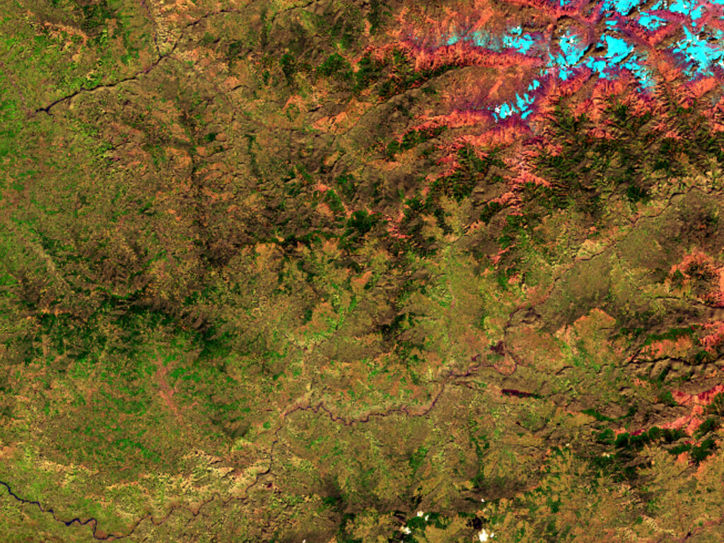
- Correcting terrain illumination in Landsat imagery