Store, organize, and process geographic information to ensure accurate, accessible, and usable data. Spatial data management integrates GIS technologies, databases, and analytical methods to support mapping, analysis, and decision-making in various fields.
- Automating geodatabase updates with Python and ArcPy

- Emergency services map book for response planning
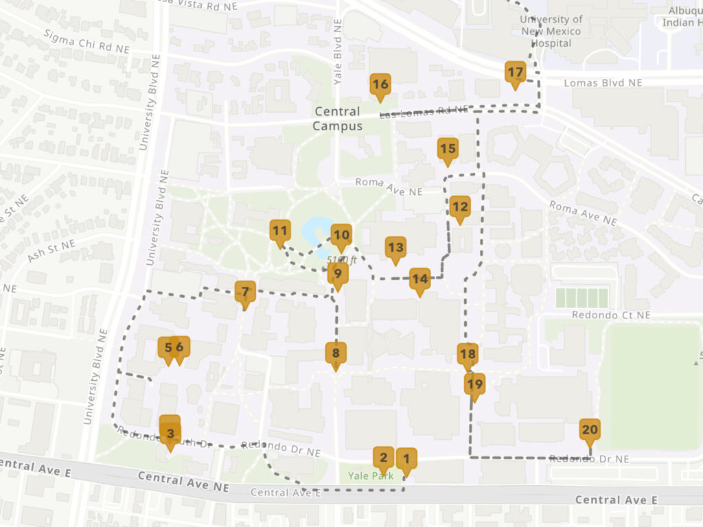
- Outdoor public art at UNM
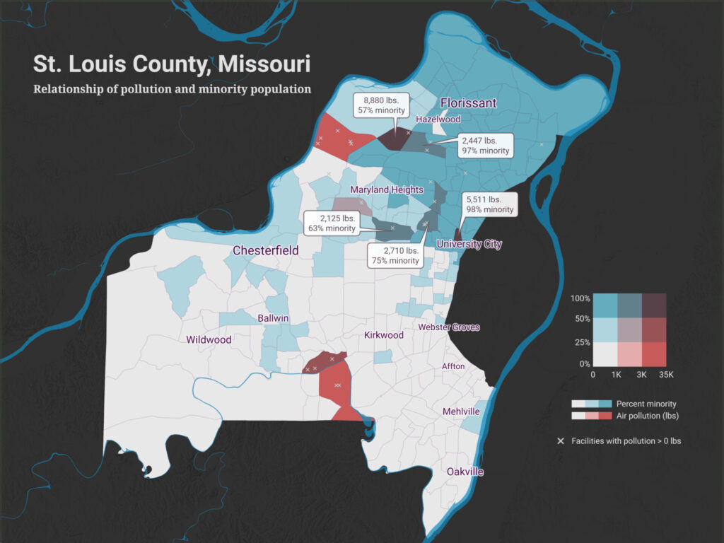
- Air pollution and minority population in St. Louis County
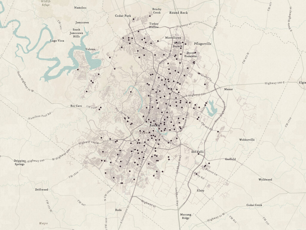
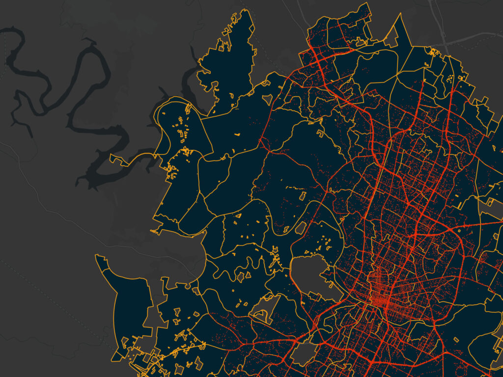
- Spatial regression of traffic crashes in Austin
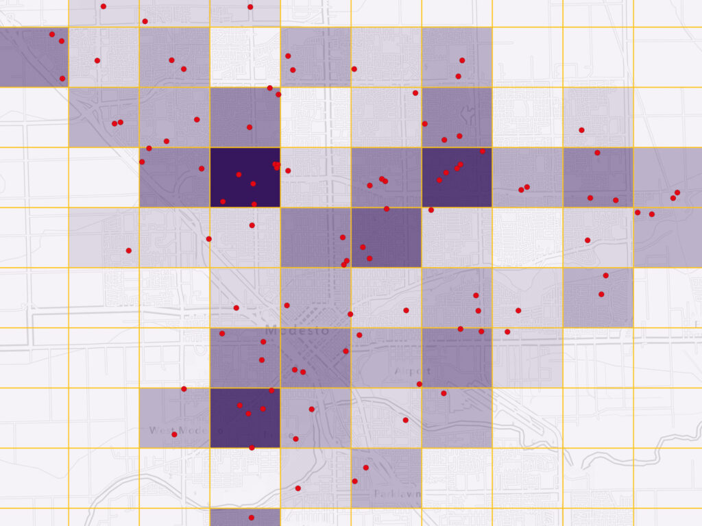
- Point pattern analysis of residential fires in Modesto
- Siting mobile library stops in rural West Virginia
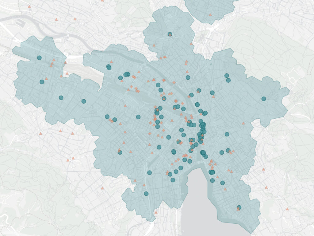
- Zurich pedestrian accessibility
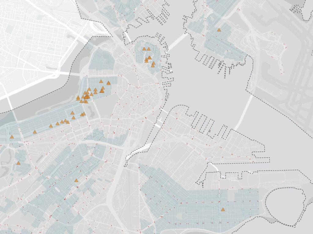
- Historic sites and urban accessibility in Boston
- Siting a raptor rehabilitation center in central New Mexico
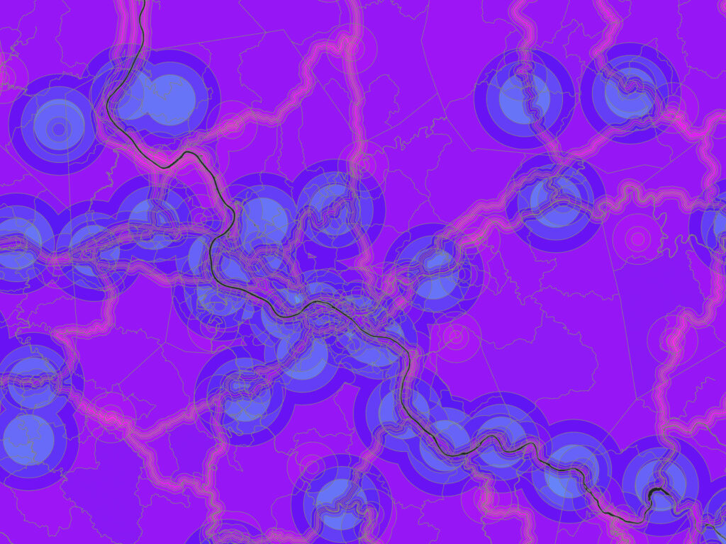
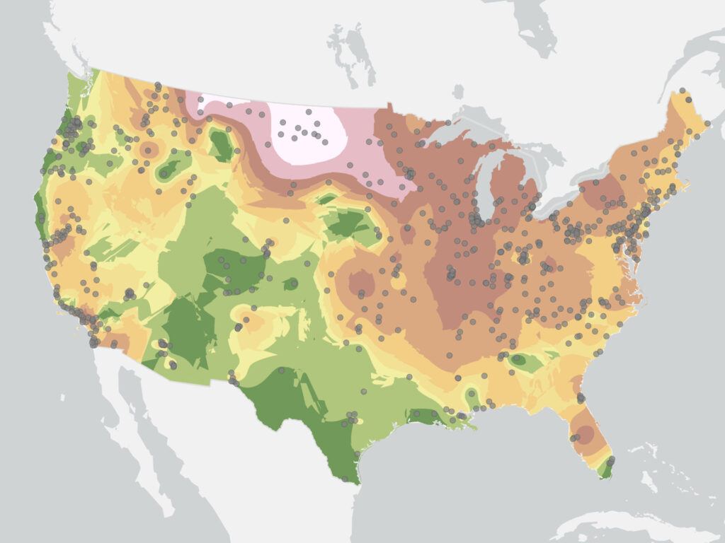
- Interpolation of fine particulate matter across the U.S.
- Glenn County NDVI trend and crop classification
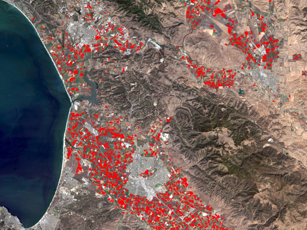
- Castroville land use change
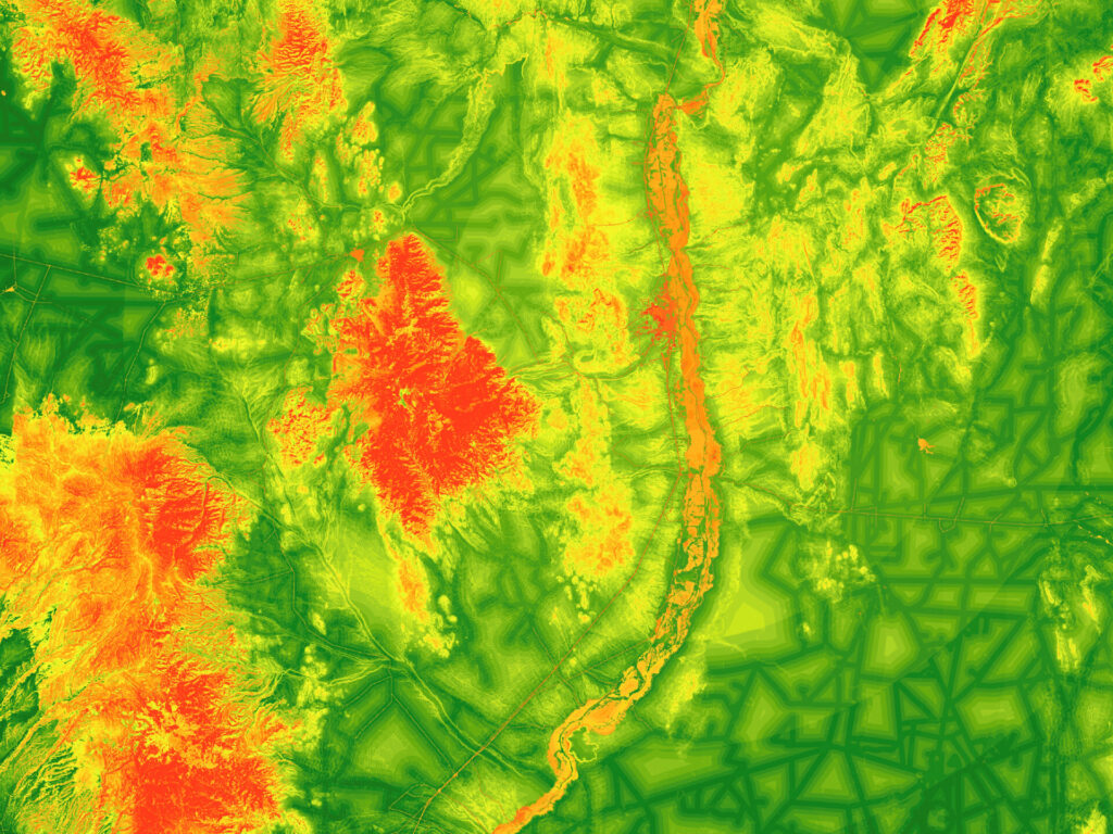
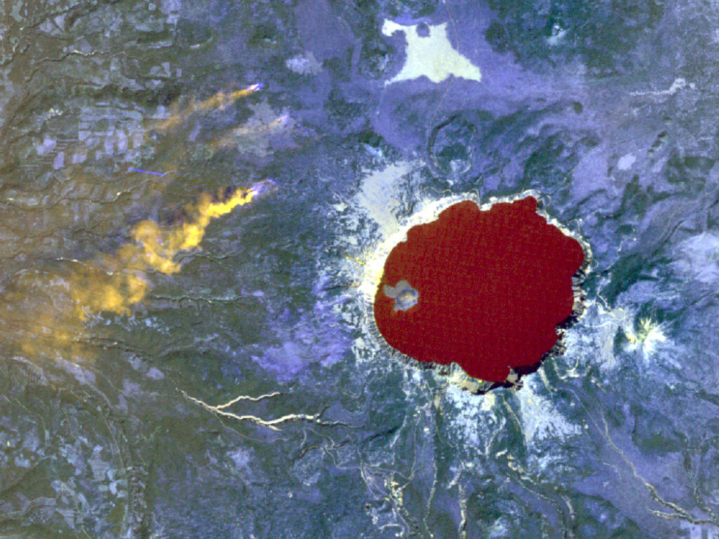
- Crater Lake vegetation and geology
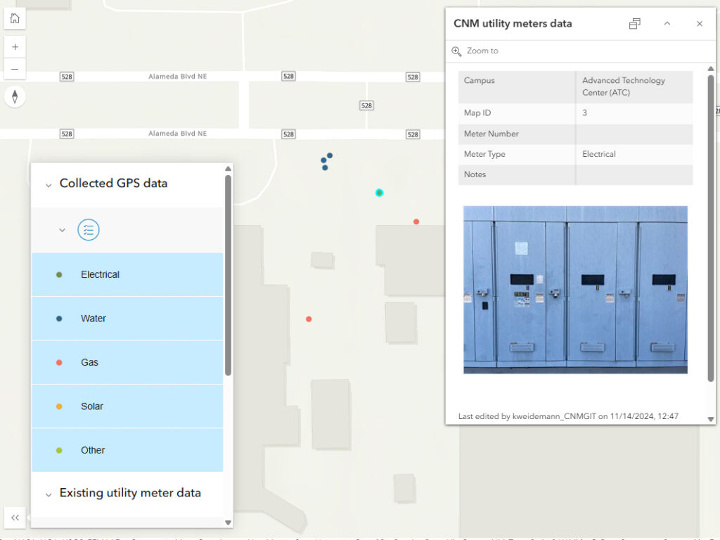
- CNM utility meters
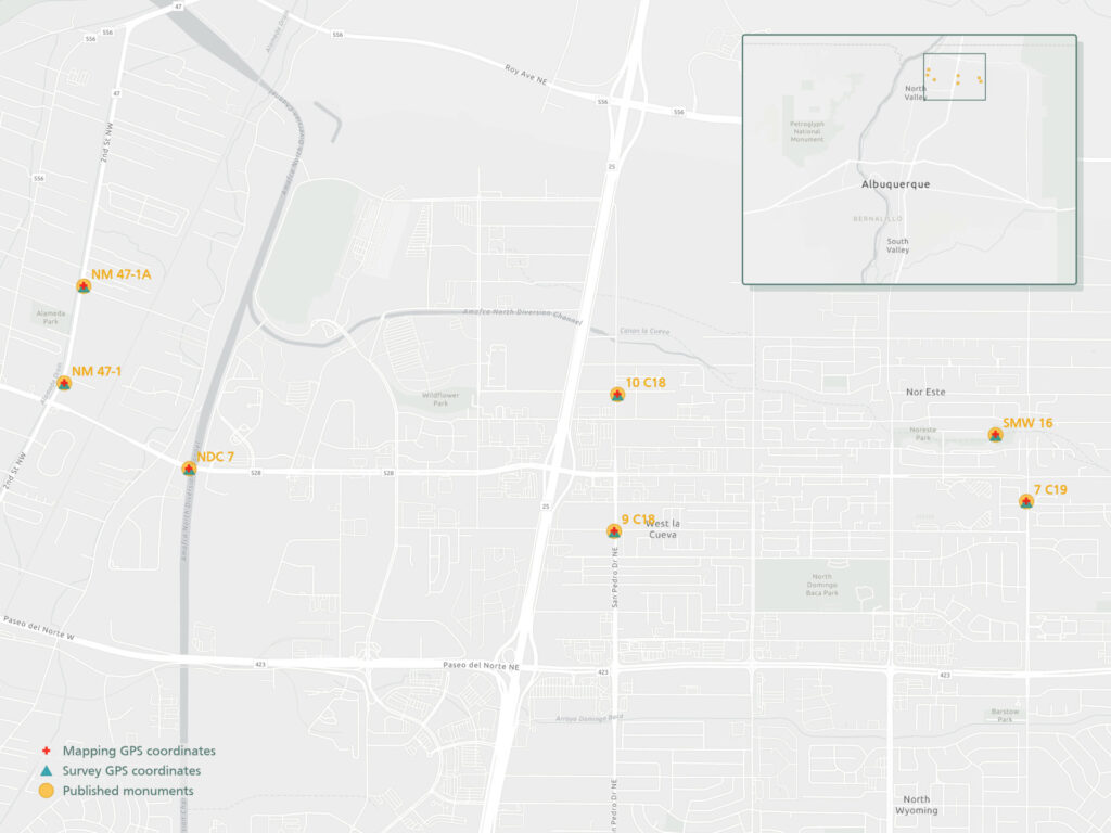
- Mapping vs. survey grade GPS receivers
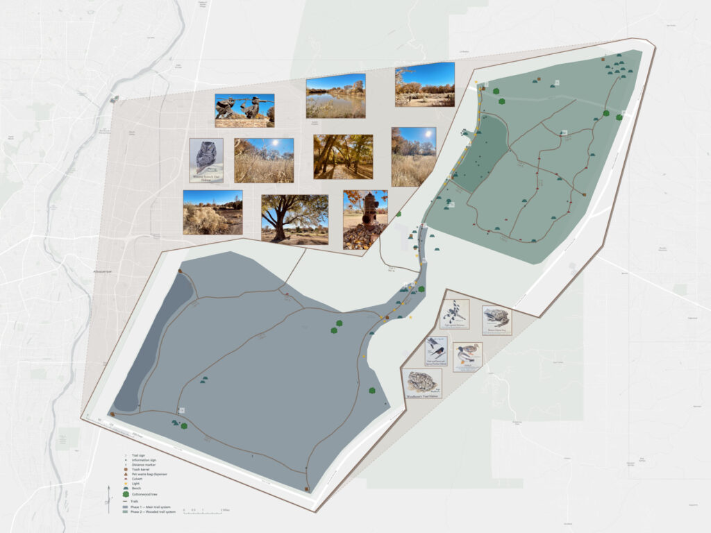
- Bachechi Open Space trails and features