Spatial analysis
-

Open-source GIS workflows in QGIS, Python, PostGIS, and Leaflet
Reviewing introductory workflows completed in QGIS, Python, PostGIS, OpenStreetMap, and Leaflet through a GitHub-based course portfolio.
-
Fire hydrant spacing using network-based spatial analysis
Using a routable street network to assess fire hydrant spacing, summarize results by Fire Box, and identify connectivity limitations.
-
Automating geodatabase updates with Python and ArcPy
Automating geodatabase inspection, schema updates, spatial selection, attribute editing, and CSV reporting with Python and ArcPy.
-
Emergency services map book for response planning
Designing a print-ready emergency-services map book with dense address labeling, page indexing, and field-oriented production requirements.
-

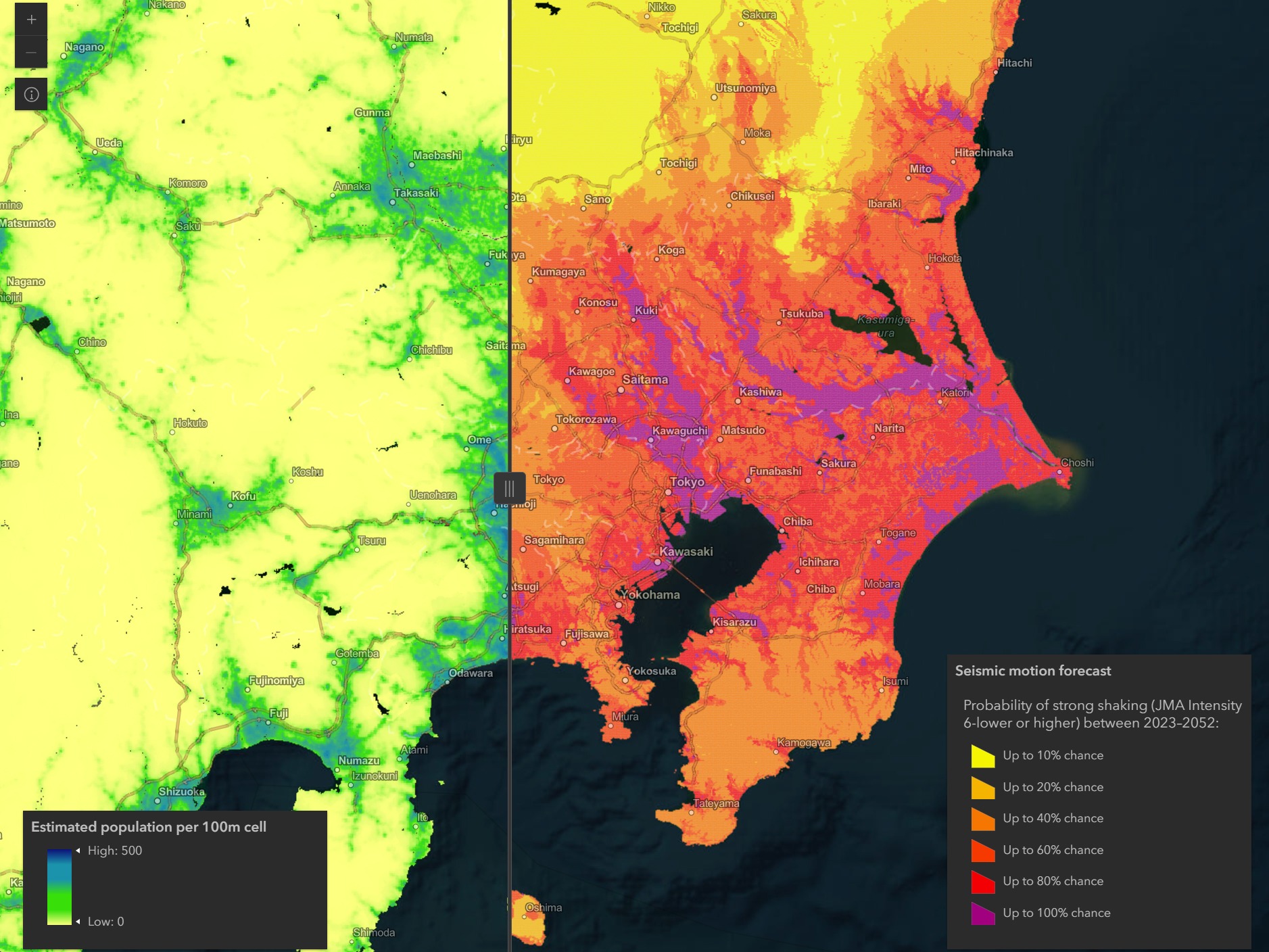
Japan earthquake explorer
Building interactive web maps to explore recent earthquakes and compare population with long-term seismic-motion forecasts across Japan.
-

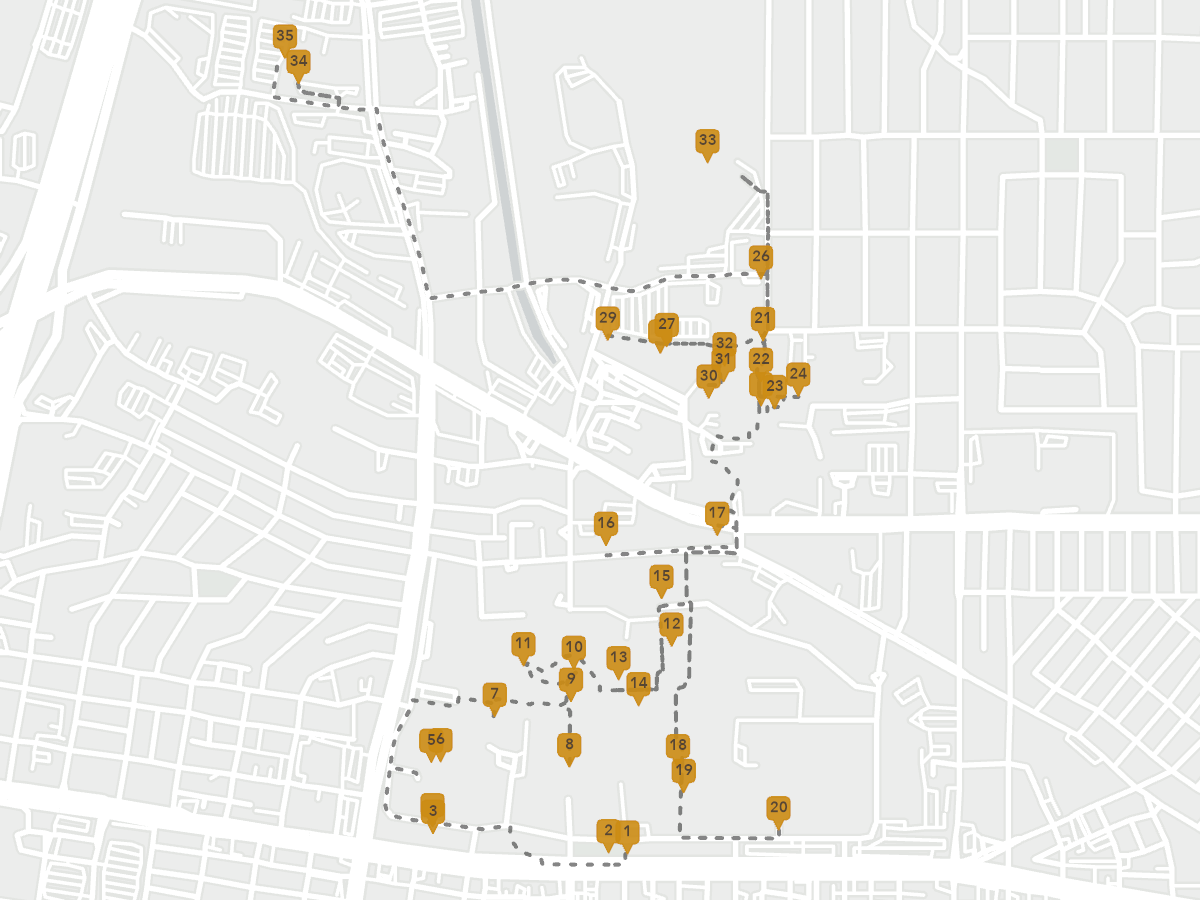
Outdoor public art at UNM
Building a field inventory and interactive walking tour of outdoor public art across the University of New Mexico’s Albuquerque campus.
-
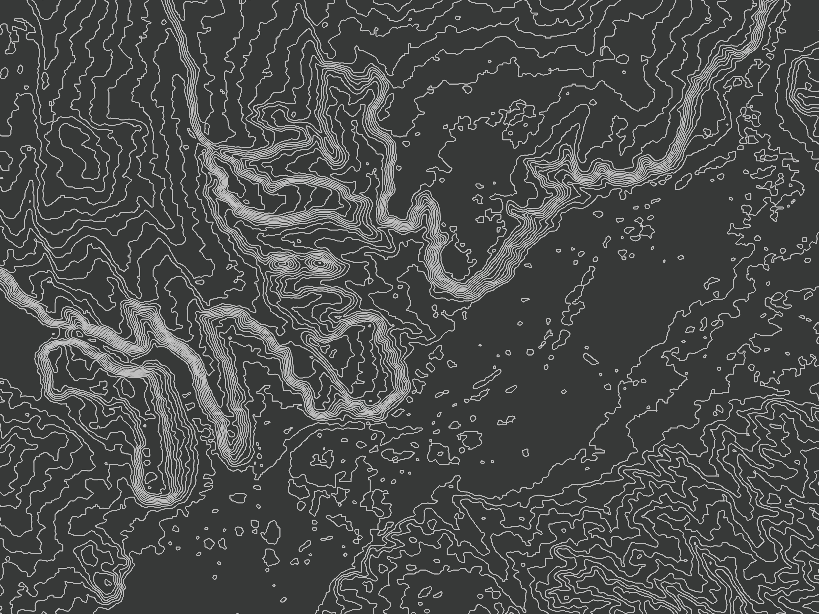
Isometric bathymetry of the Ogasawara Arc
Transforming bathymetric contours east of Japan’s Ogasawara Islands into a layered isometric visualization of the seafloor.
-
Industrial air releases and minority population in St. Louis County
Mapping industrial air releases and minority population separately and together to examine localized overlap across St. Louis County.
-
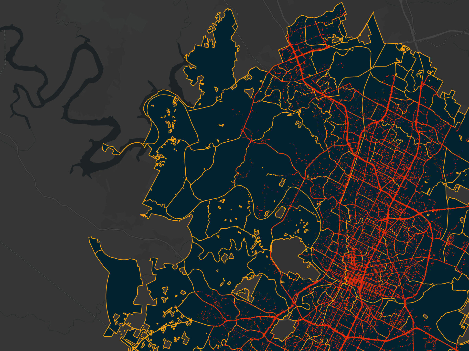
Spatial regression of traffic crashes in Austin
Using global and local spatial regression to examine how road, demographic, and environmental factors relate to traffic crashes in Austin.
-
Point pattern analysis of residential fires in Modesto
Using point pattern statistics and density surfaces to test whether residential fires in Modesto are clustered, dispersed, or random.