GIS
-

Siting mobile library stops in rural West Virginia
Comparing Boolean overlay and weighted suitability models to identify candidate mobile library stops for rural West Virginia communities.
-

Pedestrian accessibility in Zurich
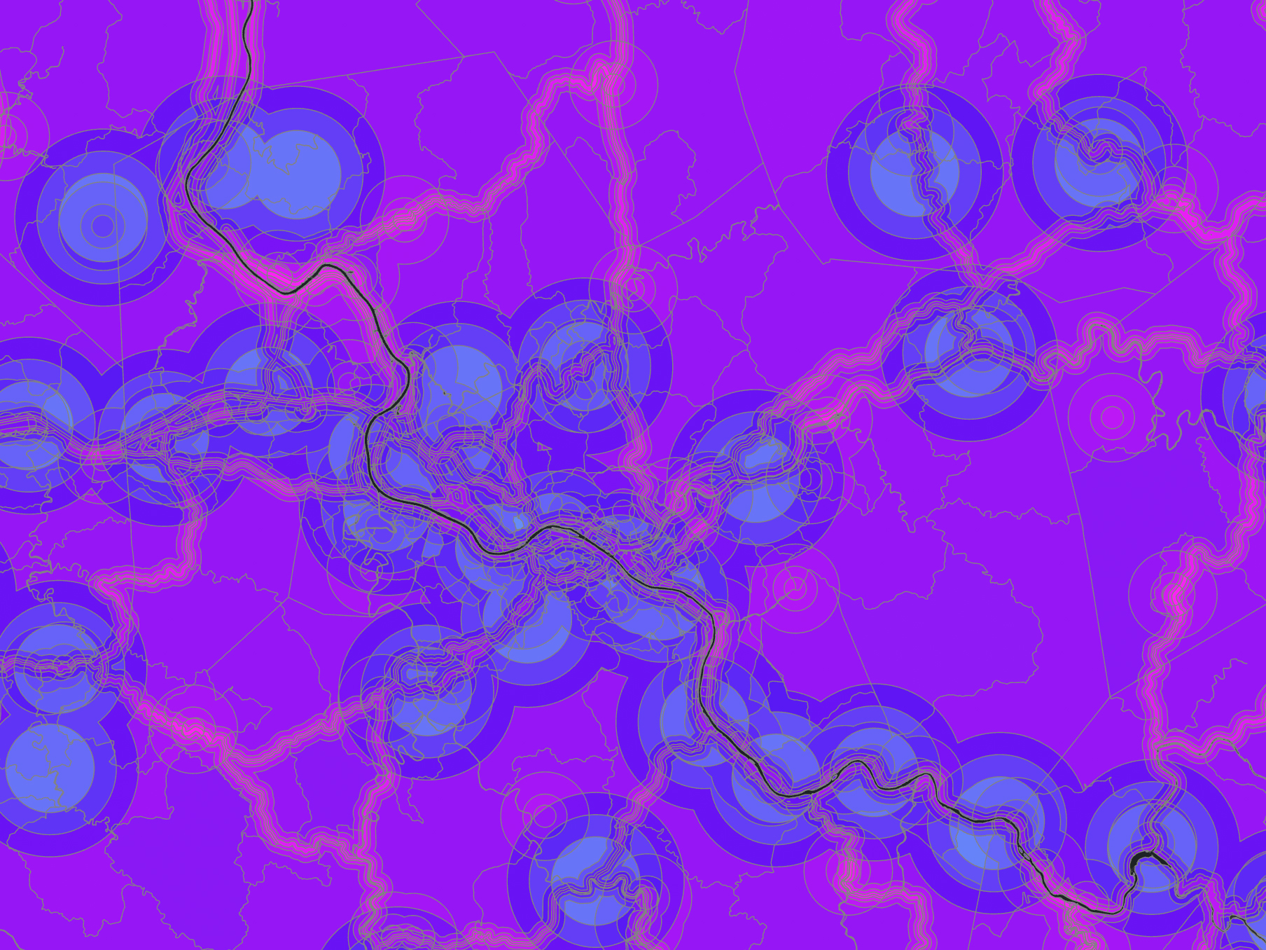
Using Zurich’s pedestrian network to evaluate hotel walkability, café access from tram stops, and an efficient route among five museums.
-
Historic sites and urban accessibility in Boston
Using attribute queries, spatial joins, and network access measures to examine historic sites and urban accessibility in Boston.
-
Siting a raptor rehabilitation center in central New Mexico
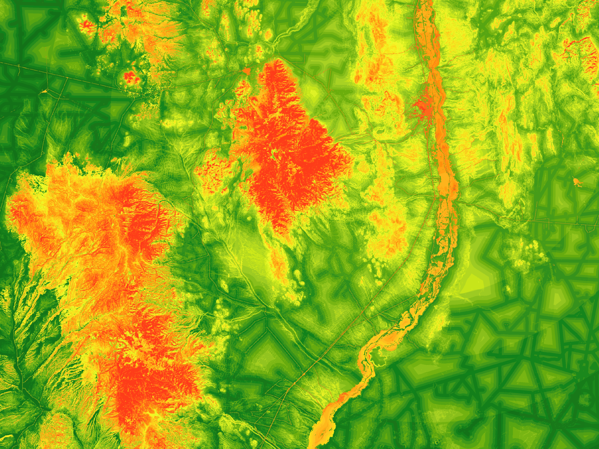
Using suitability modeling to identify central New Mexico locations that balance access, habitat, terrain, and low disturbance for raptor rehabilitation.
-
Interpolation of fine particulate matter across the U.S.
Comparing IDW, spline, and kriging surfaces used to estimate PM2.5 concentrations between monitoring stations across the United States.
-
South Fork post-fire burn severity assessment
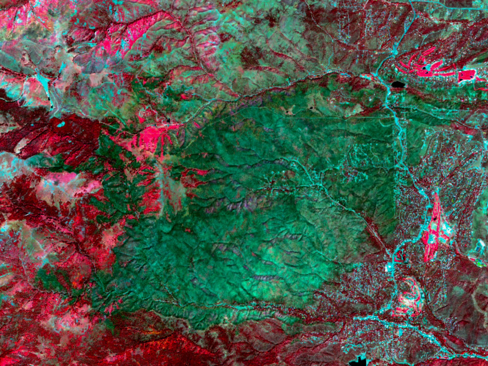
Using satellite imagery and burn-severity indices to map fire effects and recovery challenges after New Mexico’s South Fork Fire.
-

Glenn County NDVI trend and crop classification
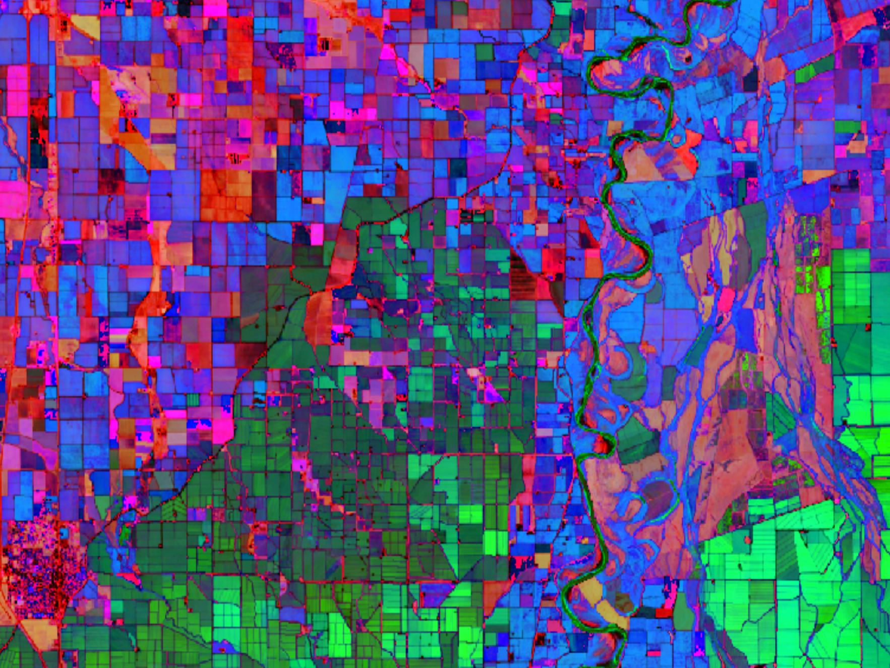
Comparing crop classifications derived from seasonal NDVI patterns and a single Landsat scene in Glenn County, California.
-

Correcting terrain illumination in Landsat imagery
Applying topographic correction to Landsat imagery to reduce terrain-driven reflectance differences in the Karakoram mountains of India.
-
Comparing mapping-grade and survey-grade GNSS receivers
Comparing the positional accuracy of mapping-grade and survey-grade GNSS observations against published control monuments in northern Albuquerque.
-
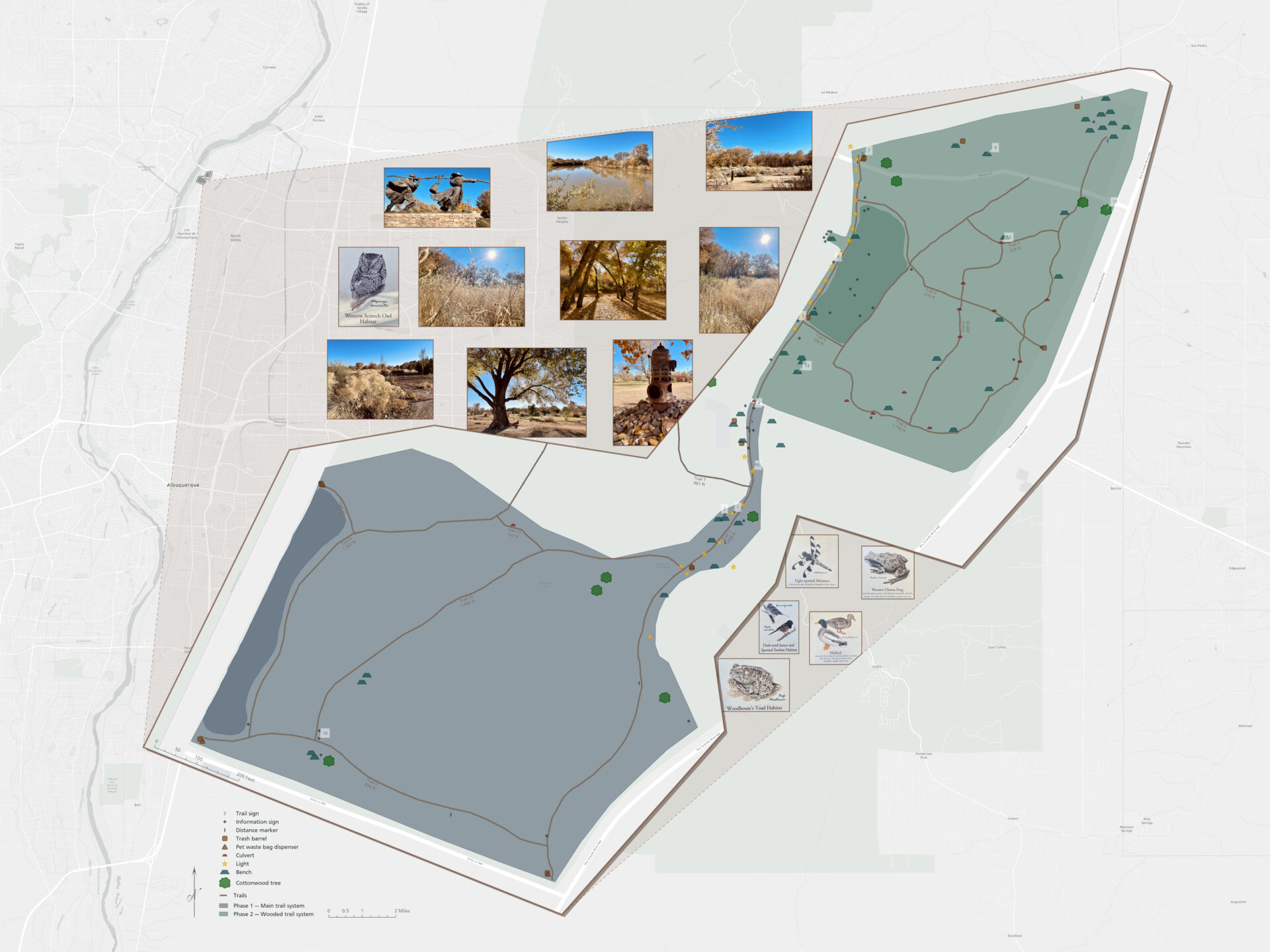
Mapping trails and visitor assets at Bachechi Open Space
Mapping trails, visitor assets, and maintenance needs at Bachechi Open Space through a field-collected GIS inventory and map.