Project categories
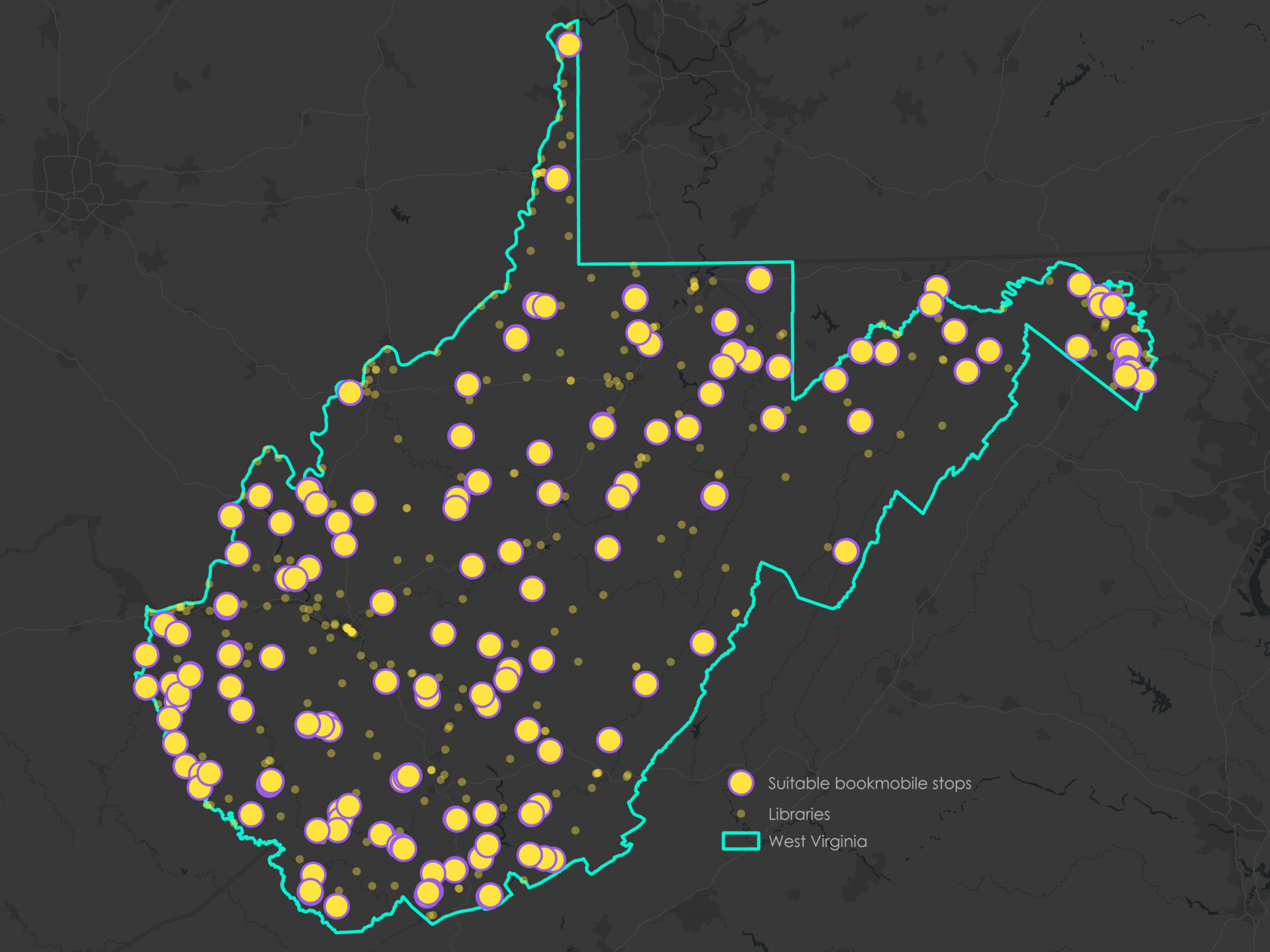
Design and present spatial data through maps and interactive visual tools to explore and analyze geographic patterns dynamically.
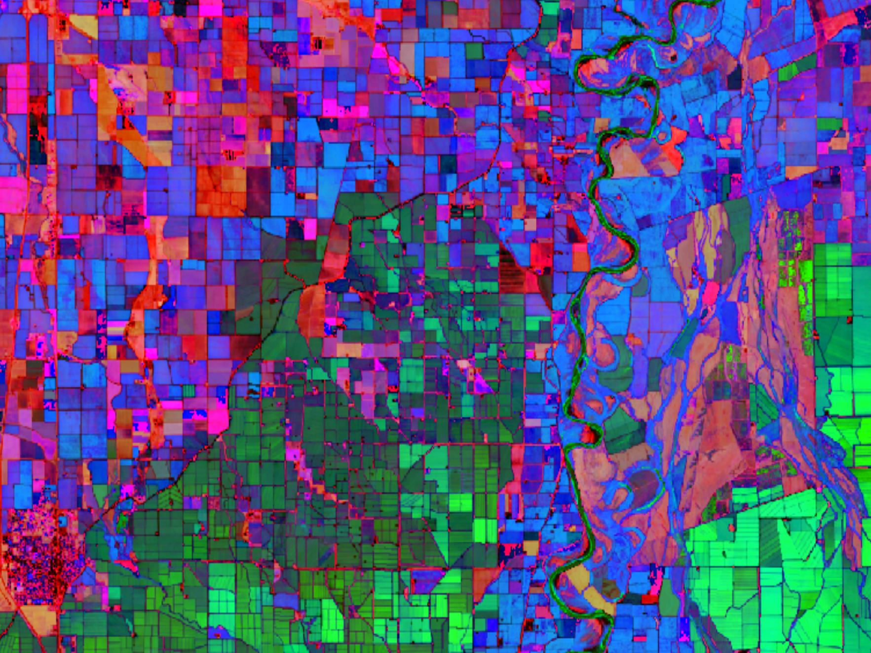
Store, organize, and process geographic information to ensure accurate, accessible, and usable data.

Examine geographic patterns, relationships, and trends using GIS techniques and statistical methods.
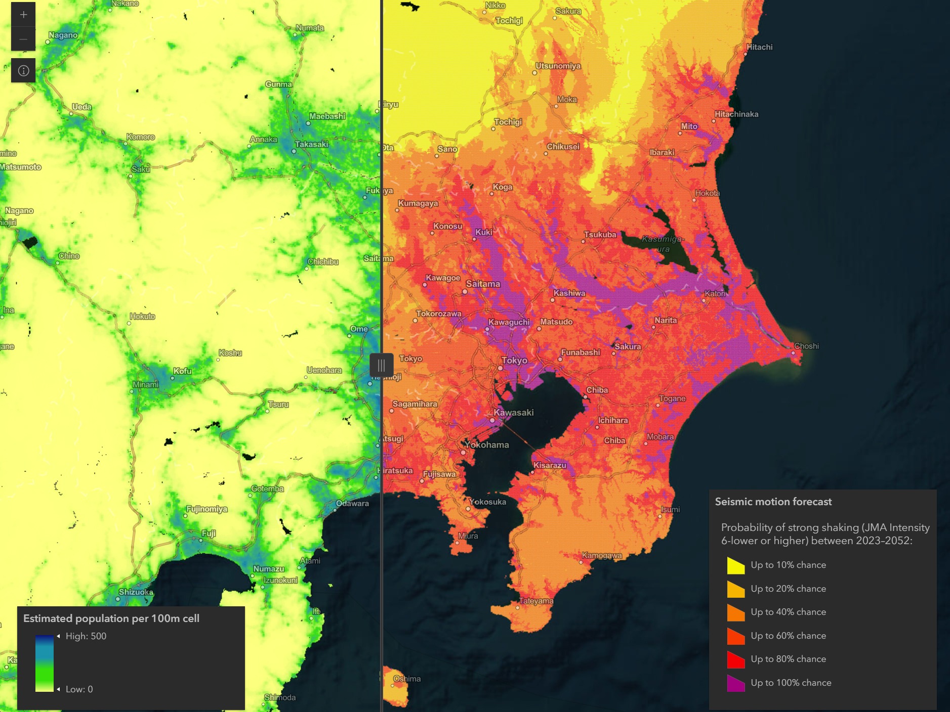
Develop code to process, analyze, and visualize geographic data for mapping and spatial analysis applications.
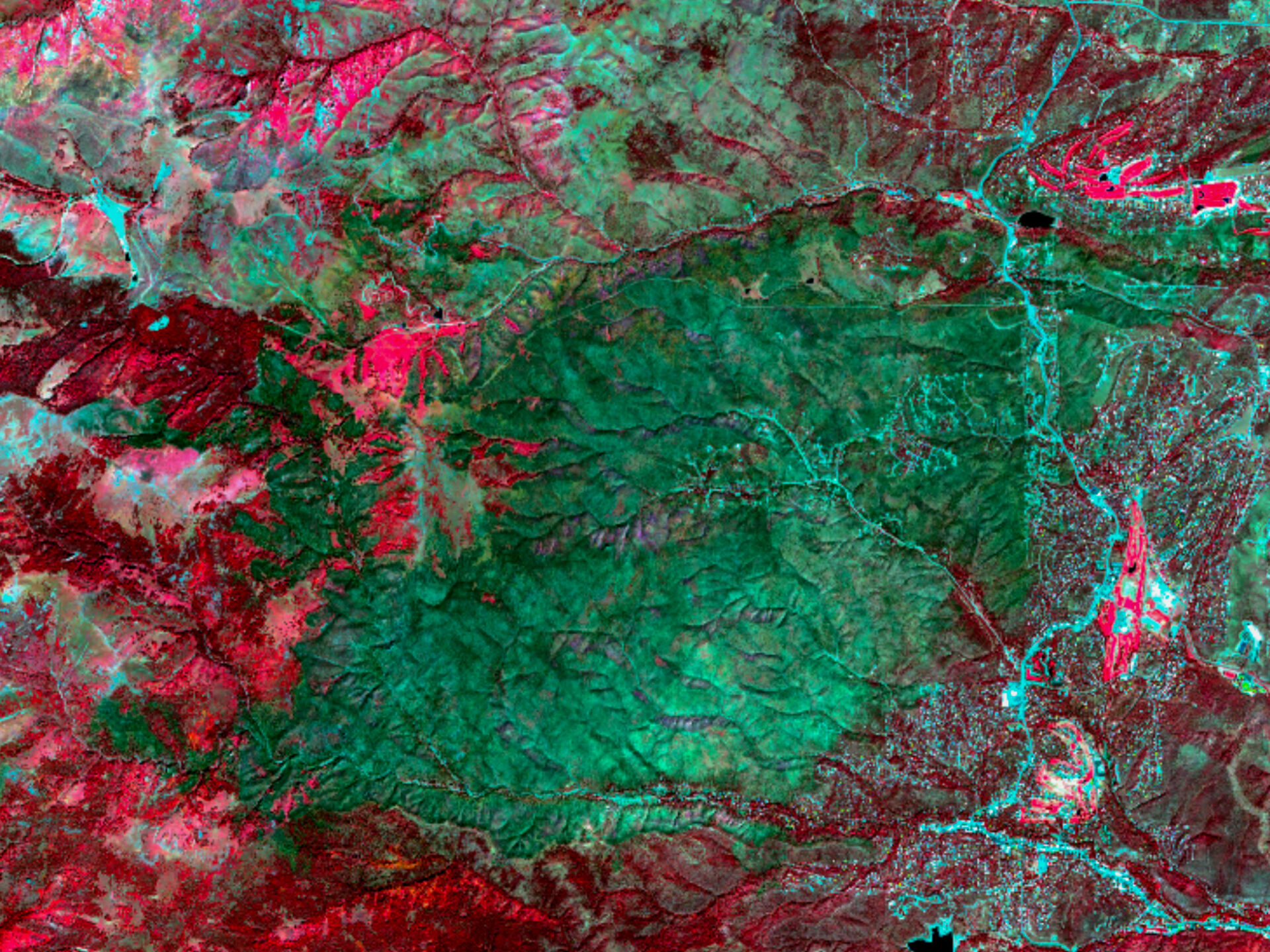
Collect and analyze data about the Earth’s surface using satellites, drones, or aircraft without direct physical contact.
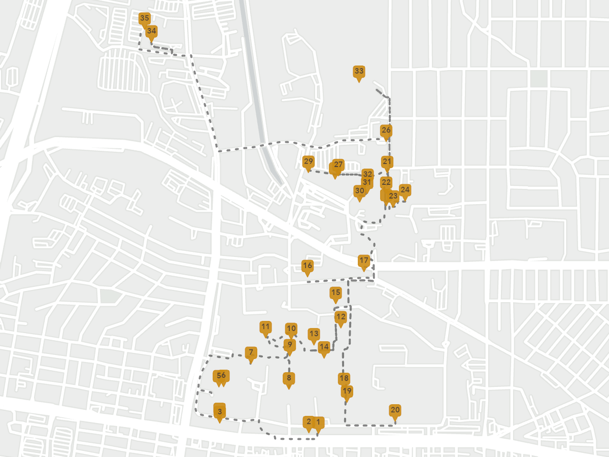
Collect, update, and verify spatial data in real-world environments using mobile devices, GPS, and remote sensing tools.